
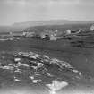
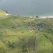
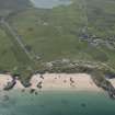
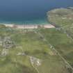
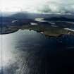
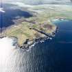
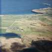
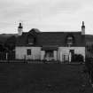
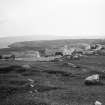
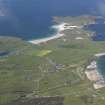
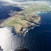
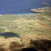
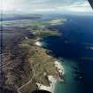
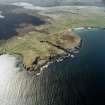
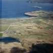
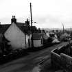
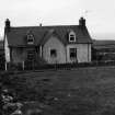
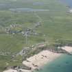
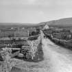
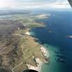
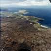
Durness, General


Township (Period Unknown)
Site Name Durness, General
Classification Township (Period Unknown)
Canmore ID 4955
Site Number NC46NW 8
NGR NC 4031 6775
NGR Description Centred NC 4031 6775
Datum OSGB36 - NGR
Permalink http://canmore.org.uk/site/4955


- Council Highland
- Parish Durness
- Former Region Highland
- Former District Sutherland
- Former County Sutherland
NC46NW 8 centred 4031 6775
See Architecture.
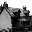
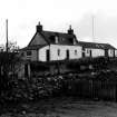
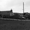
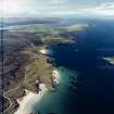
Dr Close-Brooks notes the generally older houses gable-end on to road, newer houses side-on. Narrow crofts run back from houses.
Information from Dr J Close-Brooks, 1986.

